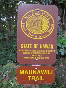
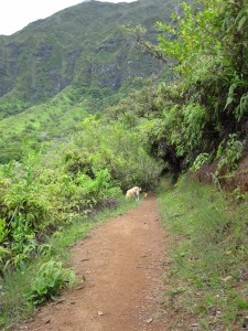
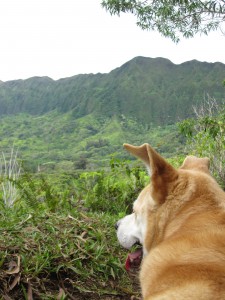
We went for a hike on the Maunawili Trail.
This trail runs about 10 miles from end-to-end — from the vicinity of the Pali Lookout, across the base of the Ko’olau Mountains on the windward (Kailua) side of the island, to the town of Waimanalo. It also connects with the Maunawili Falls Trail, which “tees” into it about three miles from the Pali trailhead.
This is a good out-and-back trail if you don’t want to do the full 10 miles. It’s pretty flat as Oahu trails go, and it’s also fairly well groomed as Oahu trails go. On top of that, it doesn’t get much traffic, even on the weekends (when trails like Manoa Falls and Maunawili Falls have about as much traffic as Interstate 5 during an LA rush hour). In any given two hours on the trail, I have only seen two or three other sets of hikers.
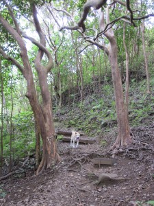
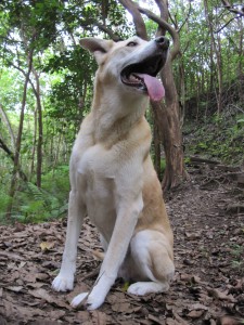
Because it’s pretty flat and doesn’t have stream crossings, it’s easy for the dogs to come along…even the little ones, like Diablo the Chihuahua. It’s also good as a running trail.
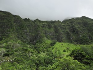
The one negative is the potential for rain, and with it mud. OK, just about every trail on Oahu is likely to be muddy; but this one is right at the base of the mountains that hold up the clouds on the windward side of the island, so it can really get soaked.
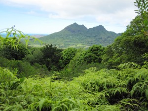
On the other hand, rain means waterfalls, and there are lots of cliff faces on the mountain range just waiting for a good shower to sprout waterfalls all over the place. The proximity of the trail to the cliffs should give one helluva view in a downpour.
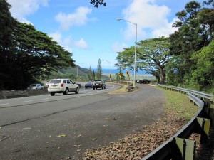
The trailhead is located at a scenic viewpoint on the Pali Highway. Very soon after exiting the tunnels on the Pali Highway, heading toward Kailua, you run into a scenic lookout point. Park there. The trailhead is just some twenty-five meters or so south (back towards the mountains) of the southern end of the parking area.
A good website for information on the Hawaii trail system is located at http://hawaiitrails.ehawaii.gov.